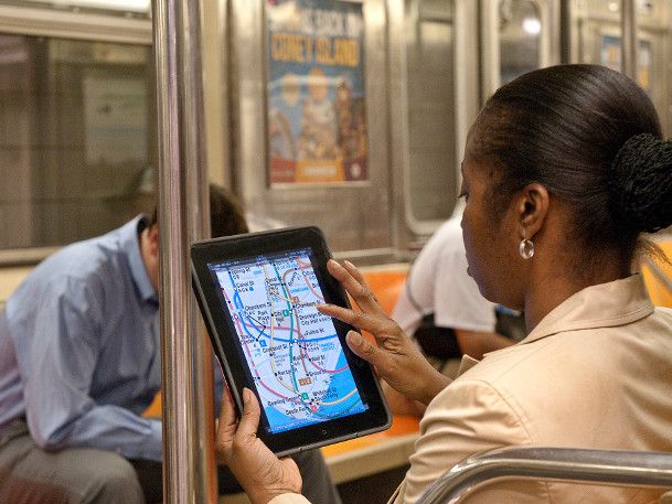
Getting around NYC can be a complicated business for those new here. Thankfully there are a multitude of helpful apps out which make life easier for smartphone users. But which should you download? New York International gives our recommendations.TOP NYC TRANSPORTATION APPS
 |
Google maps fans, don’t be dismayed by the lack of Internet signal underground. Embark NYC is a data-free app with an easy-to-read built-in subway map and integrated train schedule. Just know your current location and destination (by the appropriate subway stop name), and the selected train schedule will display, along with options for connection.Platform: iPhoneCost: Free |
 |
NYC Bus and Subway Maps App available for Android allows you to pick which maps (separated by borough) to download onto the phone. Once downloaded, the maps work offline. Each bus line is labeled with the number, a designated color, and outlines the route by which it travels. There are also key boxes for symbol clarification.Platform: AndroidCost: Free |
 |
Exit Strategy is great for the efficient New Yorker. This app can cut valuable minutes off your commute time by telling you where to enter the subway and where to stand on the platform to be closest to your exit at your destination or transfer. The latest version of the app also includes an interactive zoomable map showing subway lines, train and bus stops, address ranges, and subway entrances and exits.Platform: iPhone. Lite version available for AndroidCost: $3.99 for iPhone, $1.99 for Android |
 |
HopStop is a useful app for navigating the city. Similar to Google maps you can either plug in a starting address or use your current location to find the quickest route to your destination, whether you’re traveling by public transit, taxi, bike, or foot.HopStop has some advantages over Google Maps in that it estimates the cost of the trip if you’re using public transit or taxis, and you can specify that you’d like to only use a stroller/wheelchair accessible route. For the health- and eco-conscious, the app will also calculate the calories you burn on your route and the carbon emissions you save compared to driving.Platform: Android and iPhoneCost: Free |
 |
CabSense is a popular app which pinpoints which street corners have a high volume of cabs passing by, and has a helpful built-in whistle feature upon shaking the phone to make hailing a cab easier.Platform: iPhoneCost: Free |
 |
Get Taxi uses GPS to indicate the prospective passenger’s current location, and displays a map pinpointing cab locations. There is also a pay-on-phone option, and the option to reserve a cab ahead of time – even days before. Platform: Android and iPhoneCost: Free |
 |
The Official Citi Bike App provides bike station locations, bike availability, and even a route planning option from station to station. You can mark favorite stations as well as find out what restaurants, stores, and attractions are in the area of each station.Platform: Android and iPhoneCost: Free |
 |
Get There By Bike exhibits a map with bike paths and routes, and even provides directions. It also notifies you of traffic and hills as well as crowdsourced info on dangerous intersections, bike thefts, and bike-friendly businesses.Platform:iPhoneCost: $0.99 |
We hope that these apps will make your daily NYC commute easier. As the train operator often says: be aware, stay safe, and have a good day.

